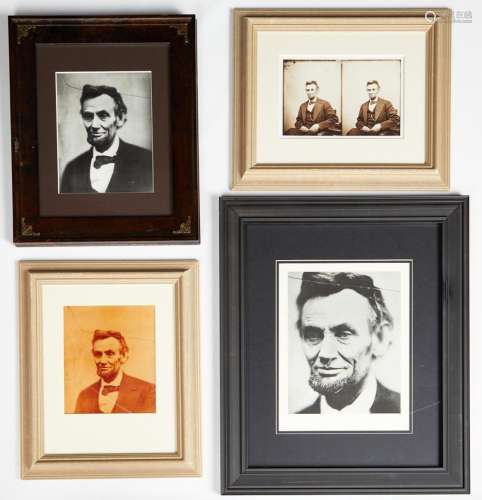
LOT 177 Moll Map of Independent Tartary China ca. 1717
Viewed 34 Frequency
Pre-bid 0 Frequency
 Collect
Name
Size
Description
Translation provided by Youdao
Herman Moll (ca. 1654-1732), "A Map of Independent Tartary Containing the Territories of beck, Gasgar, Tibet, Lassa," London, ca. 1711-1717. This early hand colored engraving map depicts the region east of the Caspian Sea with parts of what is now Kazakhstan, Uzbekistan, Rsia (Siberia), Mongolia, and China. This map originates from Moll's "Atlas geograph, or, Apleat system of geography, ancient and modern."Dimensions: Sight; height: 7 in x width: 10 in. Framed; height: 9 3/4 in x width: 12 3/4 in.

Preview:
Address:
St Paul, MN, US
Start time:

Online payment is available,
You will be qualified after paid the deposit!
Online payment is available for this session.
Bidding for buyers is available,
please call us for further information. Our hot line is400-010-3636 !
This session is a live auction,
available for online bidding and reserved bidding
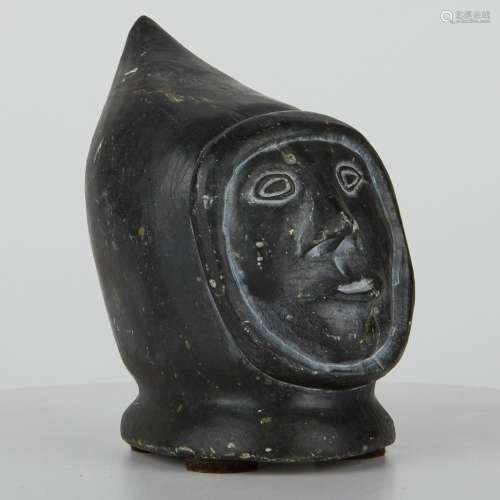
LOT 1
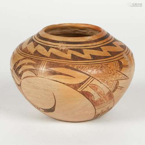
LOT 10
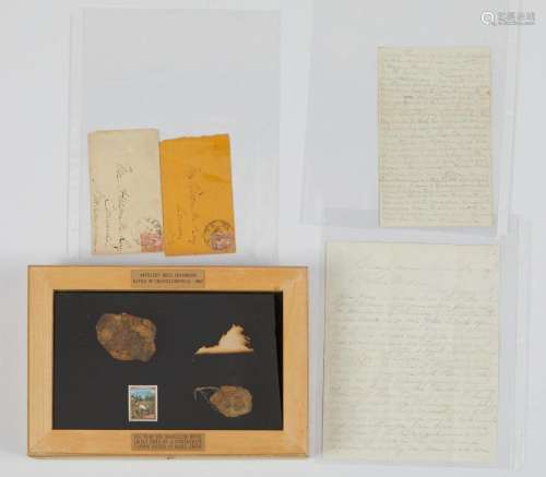
LOT 100
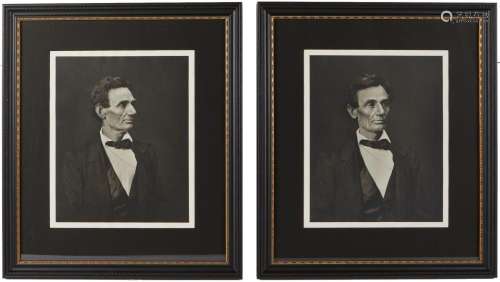
LOT 101
LOT 102
LOT 103
LOT 104
LOT 105
LOT 106
LOT 107
LOT 108
LOT 109

LOT 11
LOT 110
LOT 111
LOT 112


在线客服

咨询热线

微信公众号


APP下载

顶部