LOT 0622 AN ANTIQUE MAP, "Mappe Monde ou Carte Réd…
Viewed 378 Frequency
Pre-bid 0 Frequency
 Collect
Name
Size
Description
Translation provided by Youdao
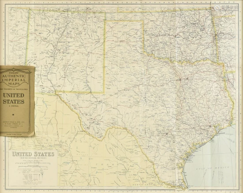
AN ANTIQUE MAP, "Mappe Monde ou Carte Réduite Des Parties Connues du Globe, Pour fervir au Voyage de la Pérouse," PARIS, 1797, engraving on paper, from Atlas du Voyage de la Pérouse, plate No. 1, "Fait dans les Anées 1785, 86, 87, et 88." 24" x 37" Note: "The present map highlights La Perouse's Voyage from France, around Cape Horn, then to Hawaii and the NW Coast of America, south to Oregon, San Francisco and Monterey, then across the Pacific Ocean to Canton, through the Philippines to the Sea of Japan and the Northern Japanese Islands, then to Kamchatka. From Kamchatka, La Perouse proceeded to the South Pacific and finally to Port Jackson and Botany Bay, where he met his untimely death. The map displays the most up to date cartography, especially along the NW Coast of America, NE Coast of Asia, Australia, New Zealand and the Pacific. La Perouse's voyage is perhaps second only to the Voyages of James Cook in their impact on cartographic knowledge and discoveries in the Pacific Ocean in the second half of the 18th Century." Reference and special thank you to Barry Lawrence Ruderman Antique Maps, Inc. Provenance: Property from a Fortune 500 Energy Company, Houston, Texas.

Preview:
Address:
Houston, TX, USA
Start time:

Online payment is available,
You will be qualified after paid the deposit!
Online payment is available for this session.
Bidding for buyers is available,
please call us for further information. Our hot line is400-010-3636 !
This session is a live auction,
available for online bidding and reserved bidding
LOT 0332

LOT 0333
LOT 0334
LOT 0335

LOT 0336

LOT 0337

LOT 0338
LOT 0339
LOT 0340

LOT 0341

LOT 0342

LOT 0343

LOT 0344

LOT 0345
LOT 0346
LOT 0347


在线客服

咨询热线

微信公众号


APP下载

顶部