LOT 0206 AN ANTIQUE POSTAL MAP, "Post Route Map of the …
Viewed 381 Frequency
Pre-bid 0 Frequency
 Collect
Name
Size
Description
Translation provided by Youdao
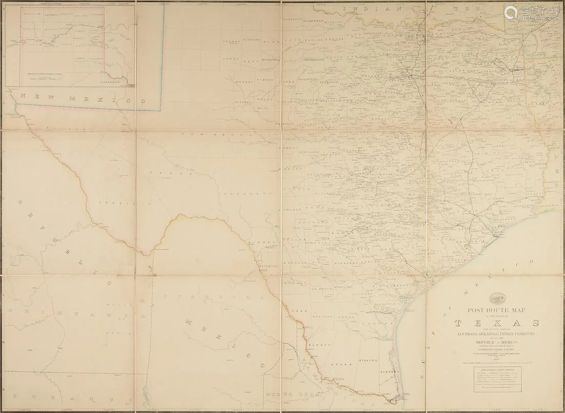
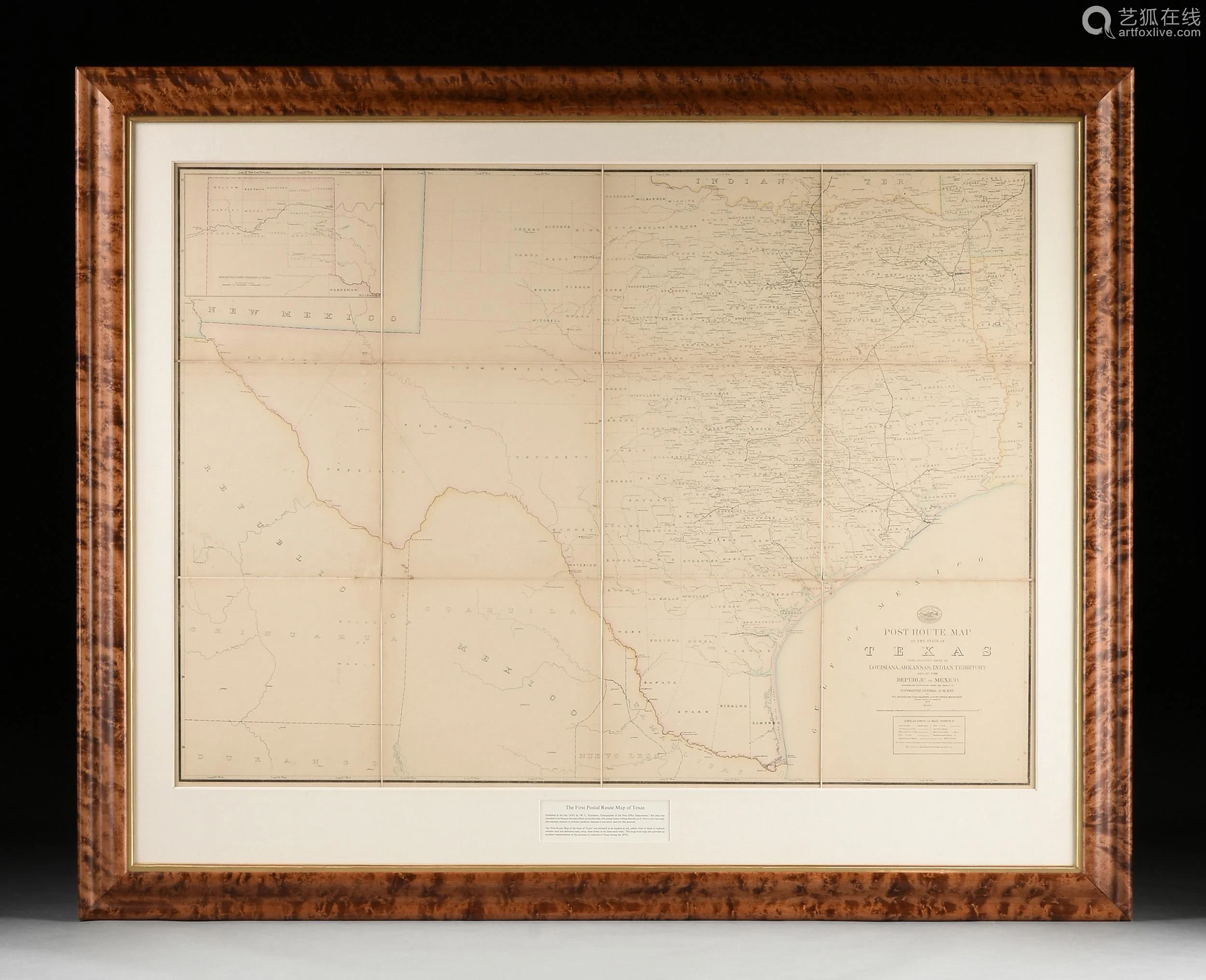
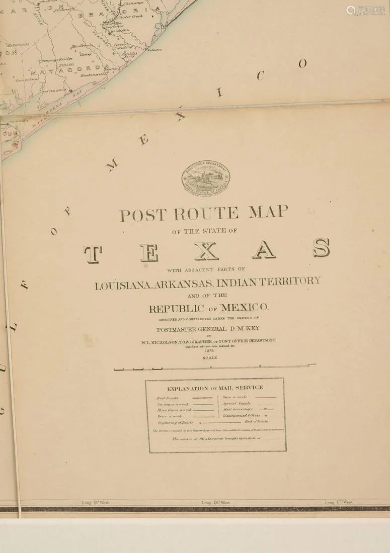
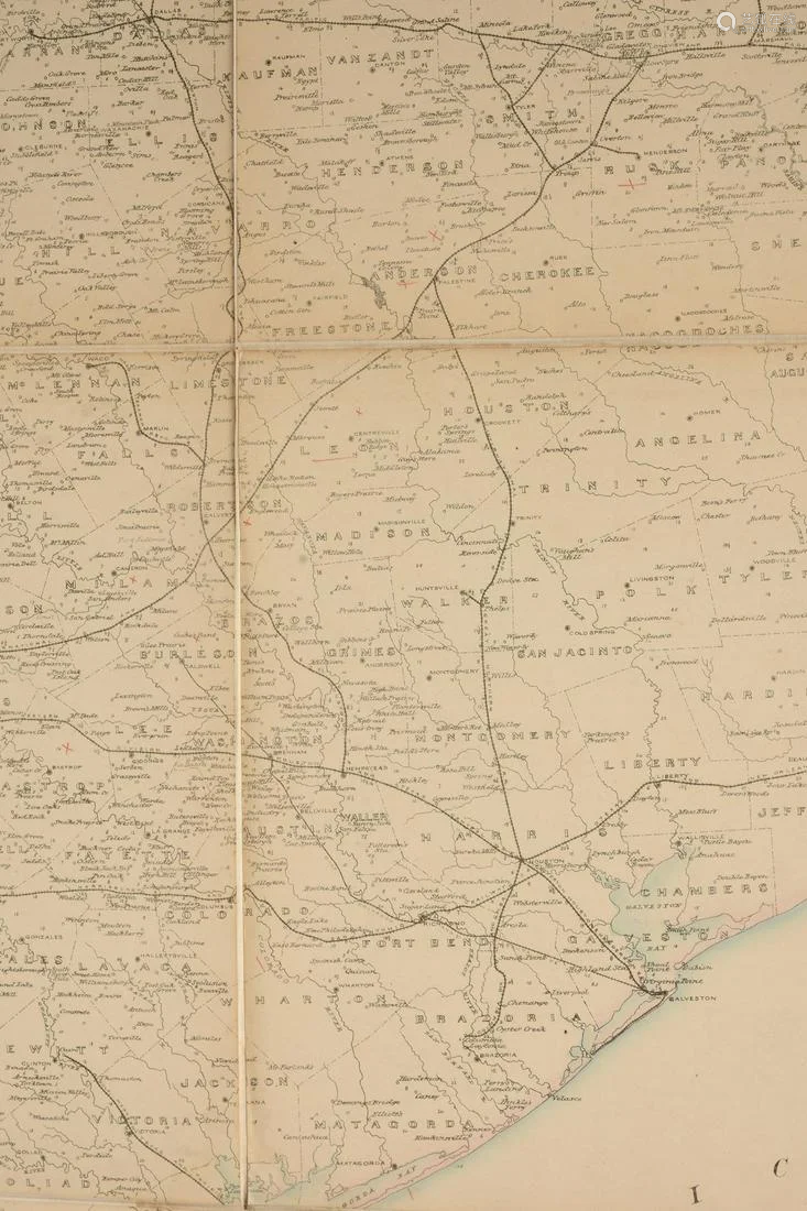
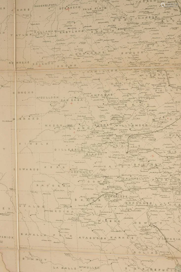
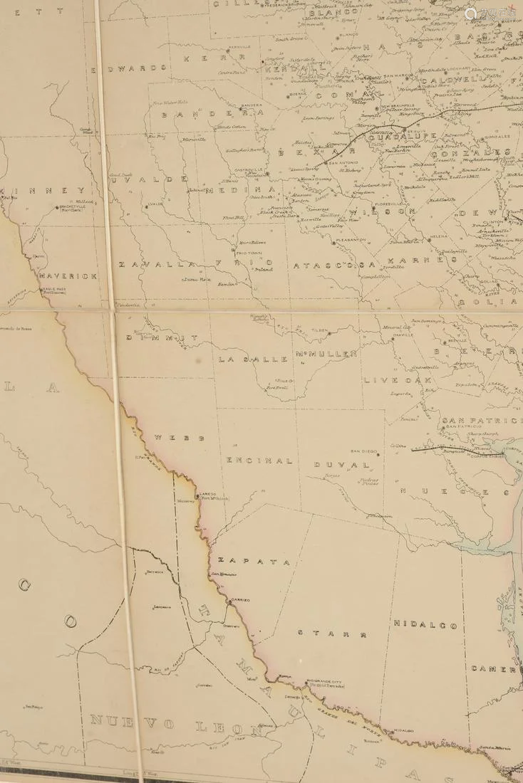
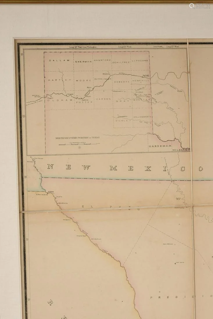
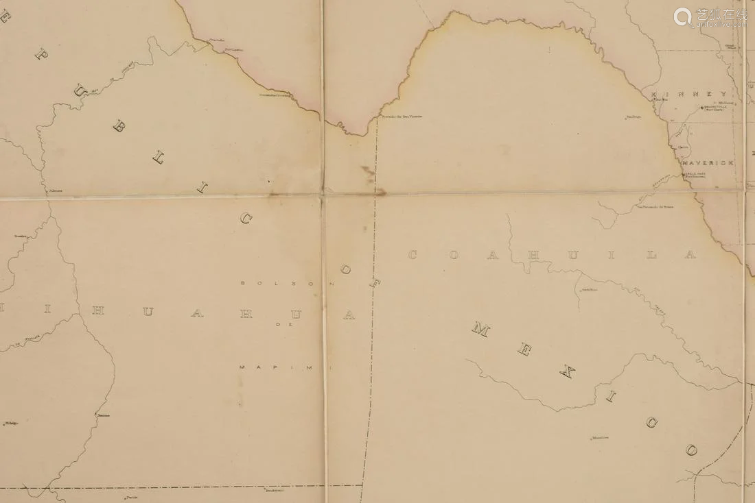
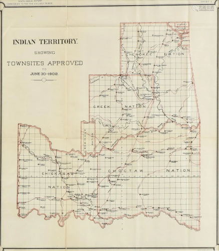
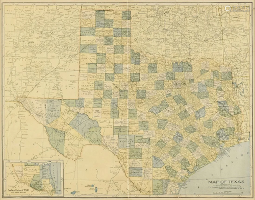
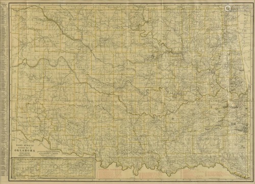
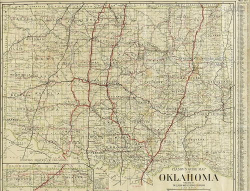
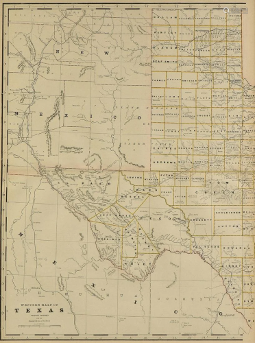
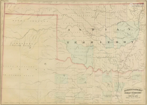
AN ANTIQUE POSTAL MAP, "Post Route Map of the State of Texas with adjacent parts of Louisiana, Arkansas, Indian Territory, and the Republic of Mexico," CIRCA 1878, hand colored lithograph on paper, "Designed and constructed under the order of Postmaster General D.M. Key by W.L. Nicholson, Topographer of Post Office Department. The first edition was issued in 1878," in L/R an "Explanation of Mail Service," and in U/L an inset map, "North-Western Portion of Texas," with a Post Office Department oval seal. 42" x 57 1/2" Provenance: Property from a Corporate Collection, Houston, Texas.

Preview:
Address:
Houston, TX, USA
Start time:

Online payment is available,
You will be qualified after paid the deposit!
Online payment is available for this session.
Bidding for buyers is available,
please call us for further information. Our hot line is400-010-3636 !
This session is a live auction,
available for online bidding and reserved bidding
LOT 0001

LOT 0002
LOT 0003
LOT 0004

LOT 0005
LOT 0006

LOT 0007

LOT 0008

LOT 0009
LOT 0010
LOT 0011

LOT 0012

LOT 0013

LOT 0014

LOT 0015

LOT 0016


在线客服

咨询热线

微信公众号


APP下载

顶部